
Coast Gallery
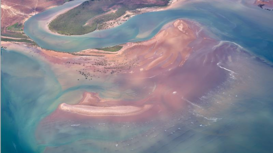
PORT HEDLAND - MARRAPIKURRINYA
Aerial image taken at 20.00 S 119.37 E
Everything about Port Hedland is huge. Like the endless iron ore on massive trains snaking their way to gargantuan ships in Australia’s highest tonnage port.
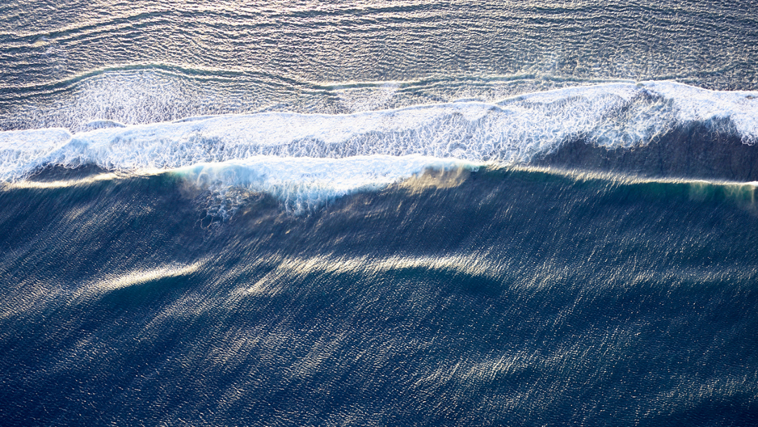
THE GREAT SOUTHERN OCEAN - MAAMBAKOORT
Aerial image taken at 34.39 S 115.16 E
The most powerful of the world’s five oceans lies off Australia’s south coast and 60 degrees south elsewhere, extending all the way to Antarctica.
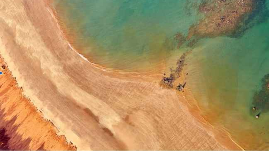
CAPE LEVEQUE - KOOLJAMAN
Aerial image taken at 16.39 S 122.92 E
The northernmost tip of the remote Dampier Peninsula, pristine Cape Leveque is known for its striking colour.

CAPE LEVEQUE - KOOLJAMAN
Aerial image taken at 16.40 S 122.99 E
The northernmost tip of the remote Dampier Peninsula, pristine Cape Leveque is known for its striking colour.

CAPE LEVEQUE - KOOLJAMAN
Aerial image taken at 16.40 S 122.99 E
The northernmost tip of the remote Dampier Peninsula, pristine Cape Leveque is known for its striking colour.